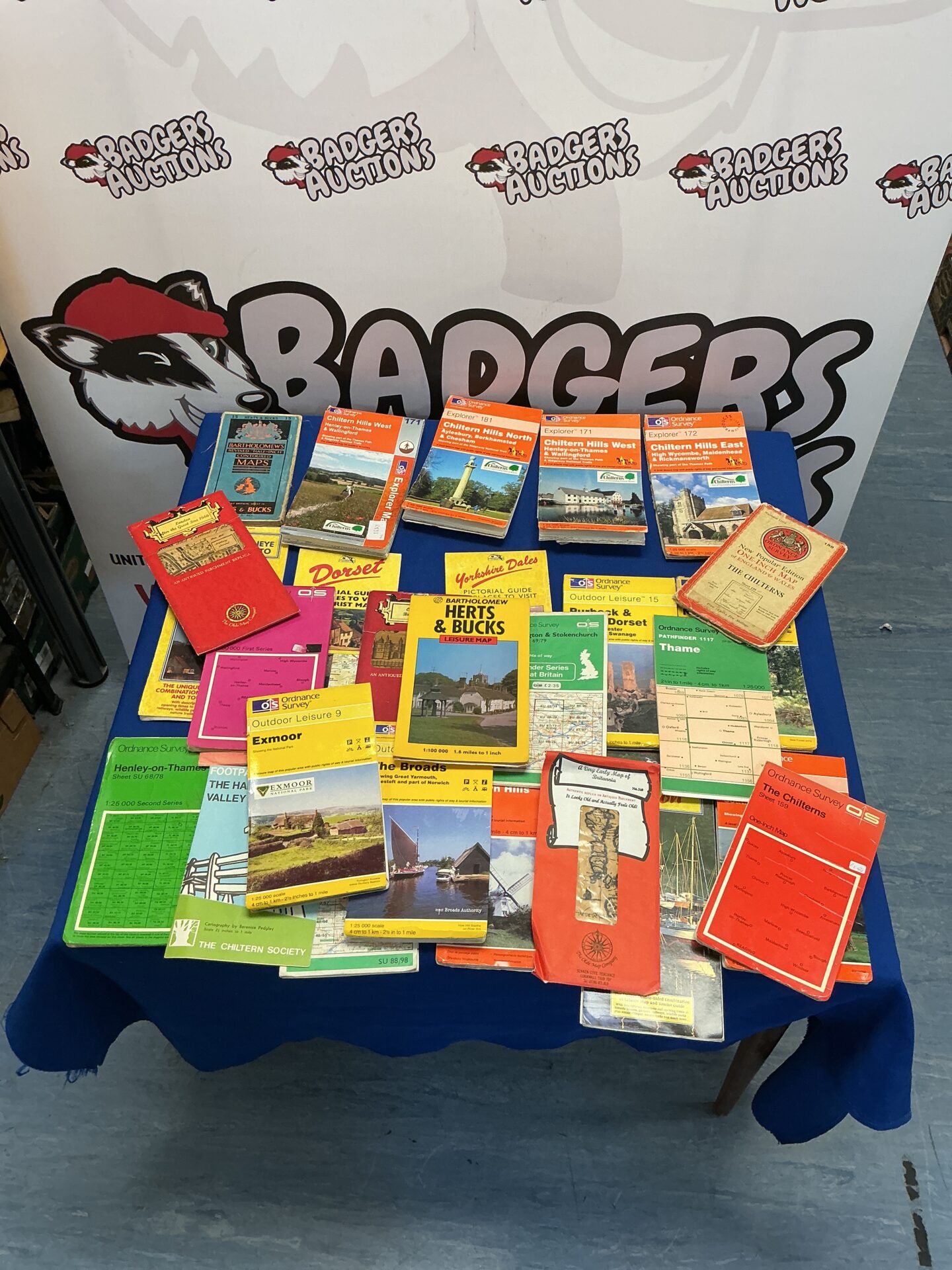
## Ordnance Survey Map Collection
This lot comprises a collection of Ordnance Survey maps, primarily focusing on areas within the Chiltern Hills and surrounding counties. The maps represent a variety of scales and editions, offering detailed topographical information for hikers, walkers, and map enthusiasts. They showcase the classic Ordnance Survey style, with detailed contour lines, symbols, and place names, providing a fascinating glimpse into the British landscape over time.
## Condition and Collectibility
The maps exhibit varying degrees of wear and tear, consistent with age and use. Some maps may show creases, minor tears, or fading, while others remain in remarkably good condition. This collection will appeal to map collectors, local history enthusiasts, and those interested in the evolution of British cartography. The vintage nature of these maps adds to their charm and collectibility, offering a unique window into the past.