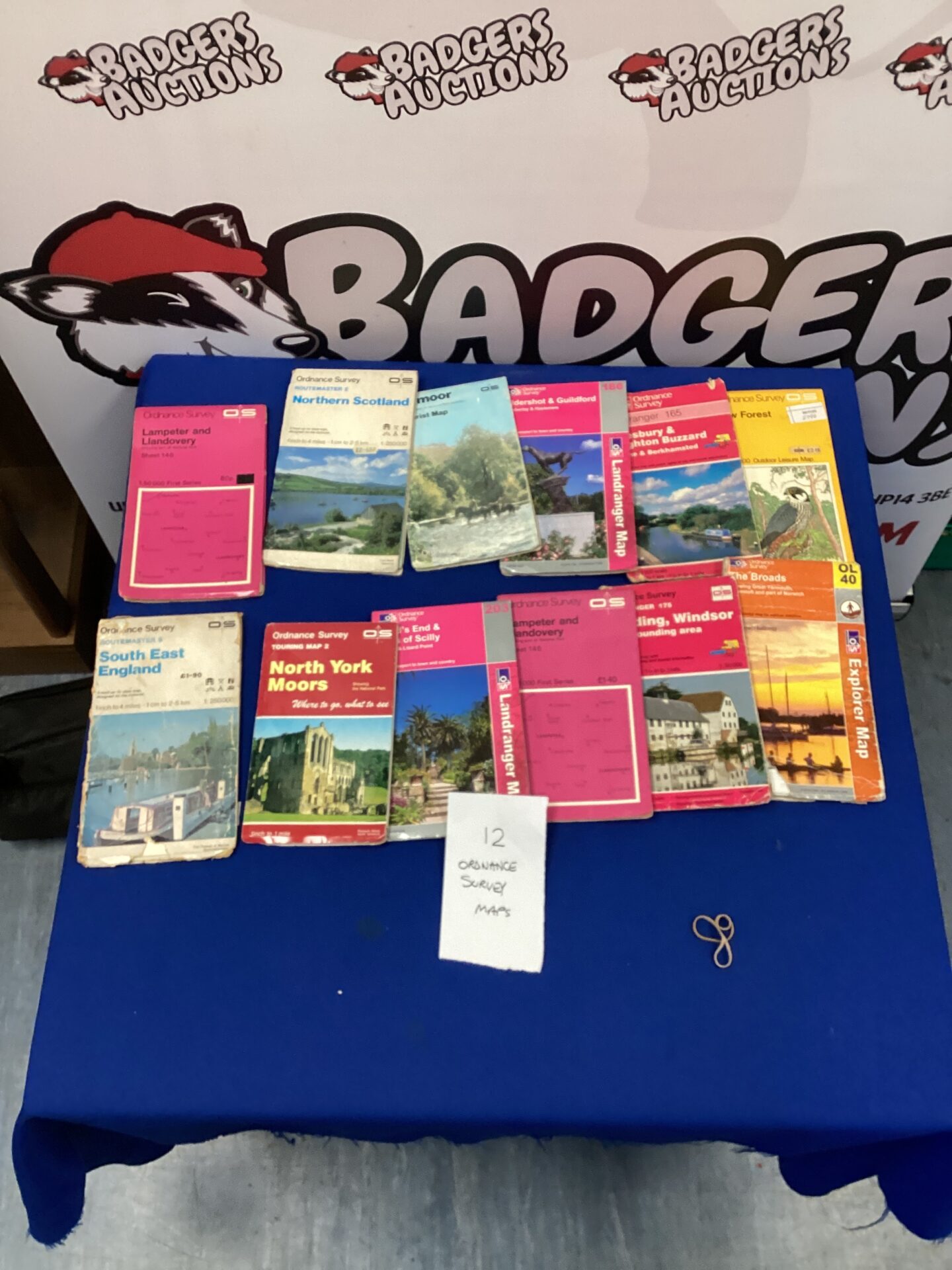
Ordnance Survey Map Collection
This lot comprises twelve vintage Ordnance Survey maps, offering a fascinating glimpse into the cartography of the United Kingdom. These topographical maps detail various regions, providing detailed information on terrain, settlements, and transportation networks. The maps showcase the classic Ordnance Survey style, with detailed contour lines, symbols, and colour schemes, reflecting the mapping standards of their time.
Condition and Collectibility
The maps exhibit signs of age and use, with some creasing, edge wear, and minor foxing consistent with their vintage. Despite these imperfections, the maps remain largely legible and retain their historical charm. This collection would be of interest to map collectors, historians, geographers, or anyone with a passion for British landscapes and cartography.