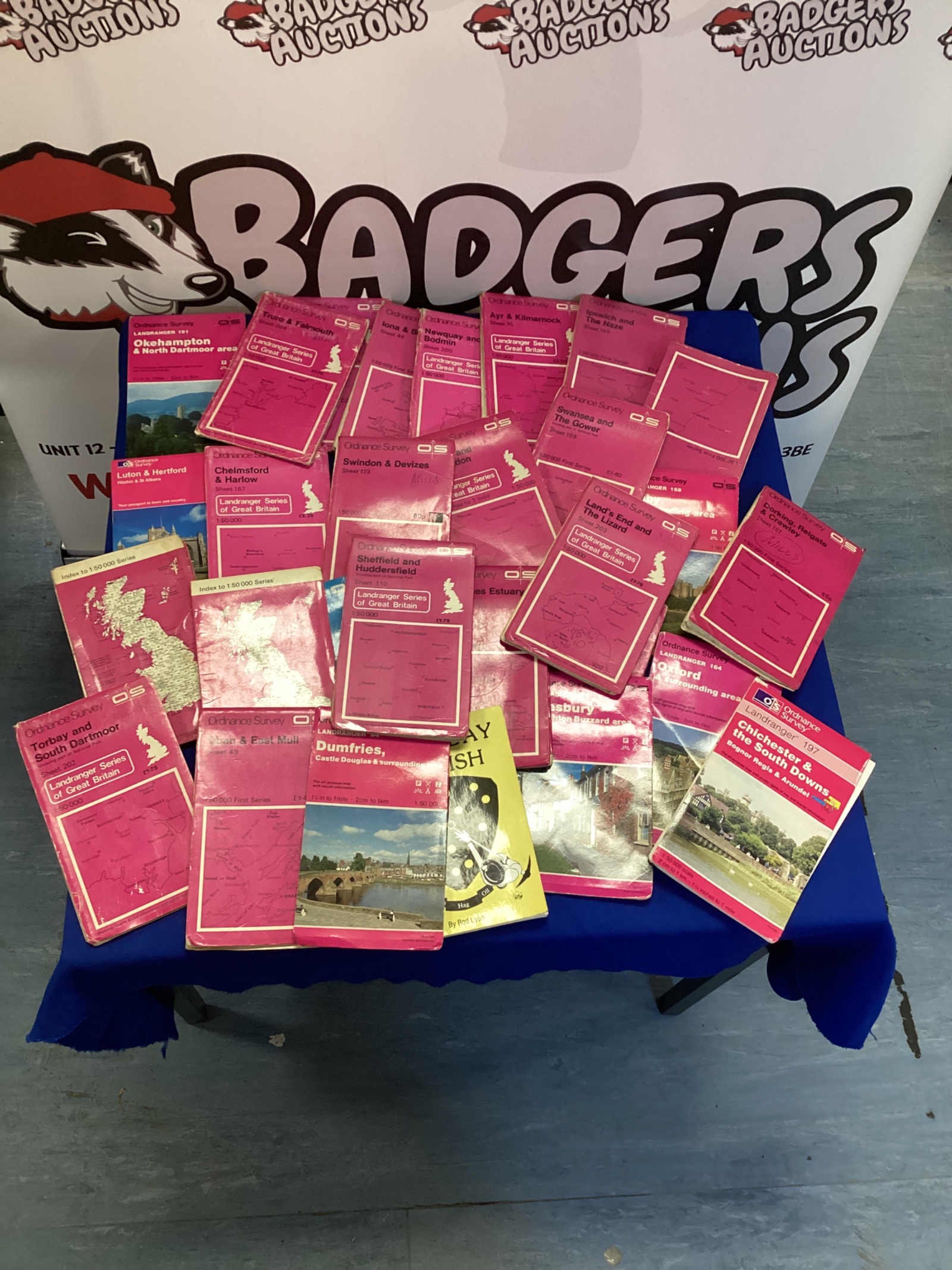
Ordnance Survey Map Lot
This lot comprises a collection of Ordnance Survey maps, offering a glimpse into the cartography of the United Kingdom. The maps appear to cover various regions, with a notable inclusion of Luton and Hartford. These maps represent a historical record of the landscape and infrastructure, potentially dating back several decades, and are a fascinating resource for collectors and enthusiasts.
Condition and Collectibility
The maps exhibit signs of age and use, with some creasing, edge wear, and minor tears. Despite this, they remain largely legible and retain their historical charm. This lot would appeal to map collectors, local history researchers, or those interested in vintage cartography, offering a unique opportunity to acquire a piece of British geographical history.