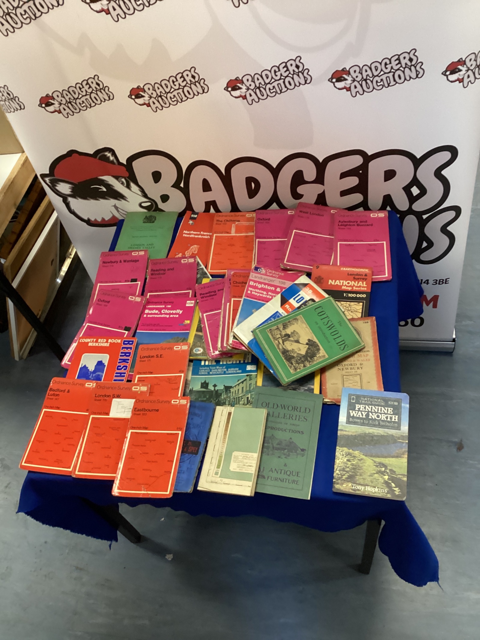
Ordnance Survey Map Lot
This lot comprises a collection of Ordnance Survey maps, appearing to cover various regions of the United Kingdom. The maps display the characteristic detailed topographical information for which Ordnance Survey is renowned, including contour lines, land features, and place names. These maps represent a fascinating glimpse into cartographic history and the evolution of landscape representation.
Condition & Collectibility
The maps exhibit signs of age and use, with some creasing, edge wear, and minor foxing. Despite this, the maps remain largely legible and retain their historical integrity. This collection would be of interest to map collectors, historians, geographers, or anyone with an appreciation for vintage cartography and the British landscape.