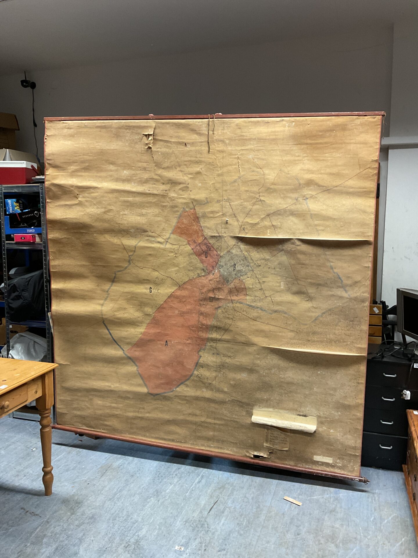
Historical Marlow District Council Map
This is a large, antique map detailing the Marlow District Council area. The map appears to be a topographical plan, likely used for planning or administrative purposes. Its scale and detail suggest it was a significant document in its time, offering a fascinating glimpse into the historical layout and development of the region.
Condition and Collector Appeal
The map exhibits signs of age and wear, with some creasing, tears, and discoloration. Despite this, it remains a visually striking and historically valuable piece. Collectors of local history, cartography, or ephemera would find this map a unique and interesting addition to their collections, offering a tangible link to the past.