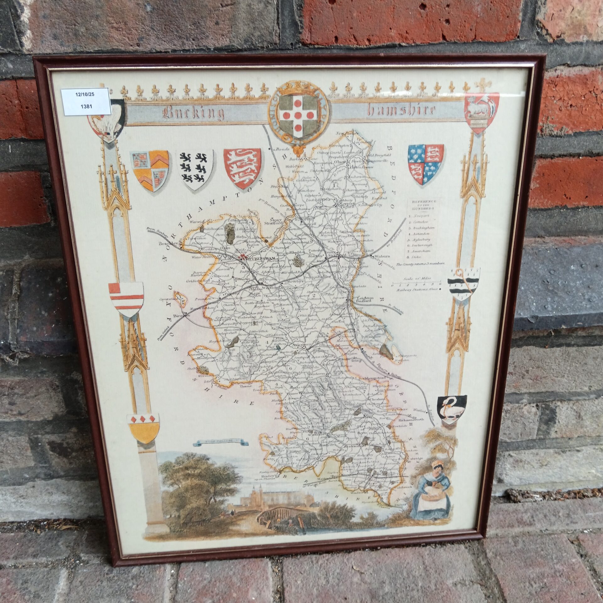
Antique Buckinghamshire Map
This is a beautifully detailed antique map of Buckinghamshire, likely dating from the late 18th or early 19th century. The map showcases the county’s topography with intricate detail, including towns, villages, roads, and waterways. It’s a fascinating glimpse into the historical geography of the region, and would be a striking addition to any collection of antique maps or local history memorabilia.
Condition and Collectibility
The map is in good condition for its age, with some expected signs of wear and foxing consistent with its age. It has been professionally framed, protecting the delicate paper. This map would appeal to collectors of antique maps, local historians, or anyone with an interest in the history of Buckinghamshire.