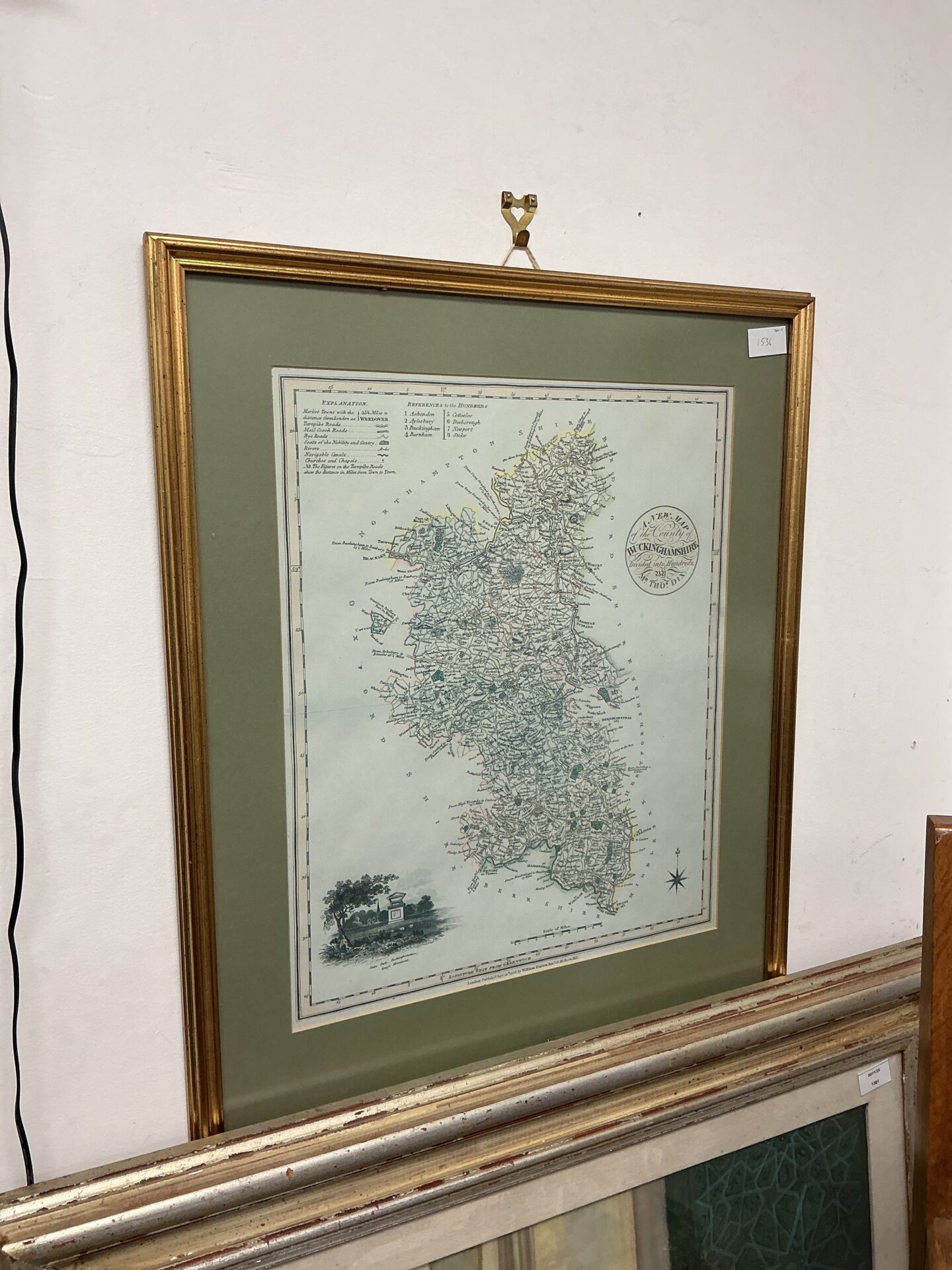
Antique Buckinghamshire County Map
This is an antique map of Buckinghamshire, beautifully presented within a decorative gilt frame. The map details the county’s topography, towns, and villages, offering a fascinating glimpse into the historical geography of the region. The cartography is detailed and likely dates from the 19th century, showcasing the style of mapmaking prevalent during that era.
Condition and Collectibility
The map exhibits signs of age, consistent with its antique status, including some foxing and minor paper discoloration. The gilt frame shows some wear commensurate with age, but remains largely intact and adds to the map’s overall aesthetic appeal. This map would be a desirable addition to a collection of antique maps, topographical prints, or county memorabilia, and would serve as a striking decorative piece for a study or living space.