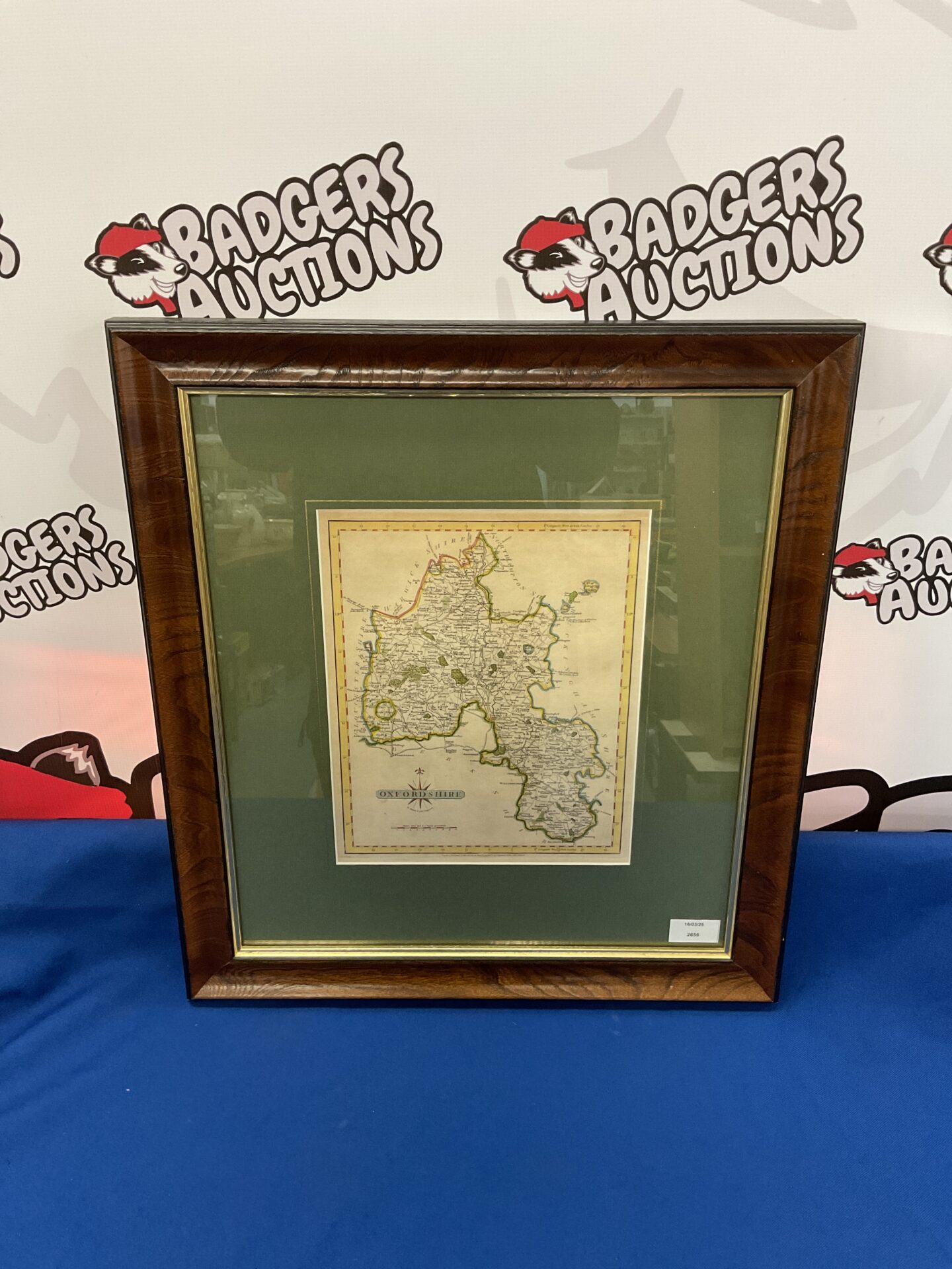
Antique Oxfordshire County Map by John Cary
This is an antique map of Oxfordshire, created by John Cary in 1793. The map showcases detailed county boundaries, towns, villages, and significant geographical features of Oxfordshire as they were known during that period. It’s a beautifully engraved map, typical of Cary’s work, known for its clarity, accuracy, and aesthetic appeal.
Condition and Collectibility
The map shows signs of age, consistent with its 1793 origin, and may exhibit some foxing or minor imperfections. Despite this, the map remains a visually appealing and historically significant piece. This map would be a valuable addition to a collection of antique maps, British history, or topographical prints, appealing to collectors and enthusiasts alike.