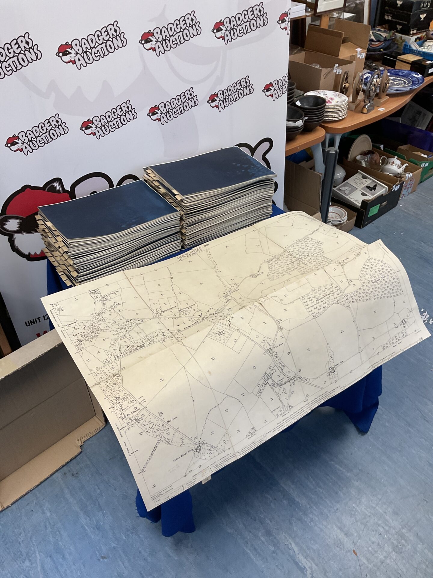
Antique Ordinance Survey Maps of Buckinghamshire
This lot comprises 108 antique ordinance survey maps, detailing various areas within Buckinghamshire. These maps represent a fascinating glimpse into the historical topography of the county, likely dating from the late 19th or early 20th century. The detailed cartography showcases the landscape as it was, including field patterns, woodlands, settlements, and transport networks of the period.
Condition and Collectibility
The maps exhibit signs consistent with age and handling, including some foxing, minor tears, and edge wear. Despite these imperfections, the maps remain largely legible and retain their historical integrity. This collection would be of significant interest to map collectors, local historians, genealogists, or anyone with a passion for the historical geography of Buckinghamshire.