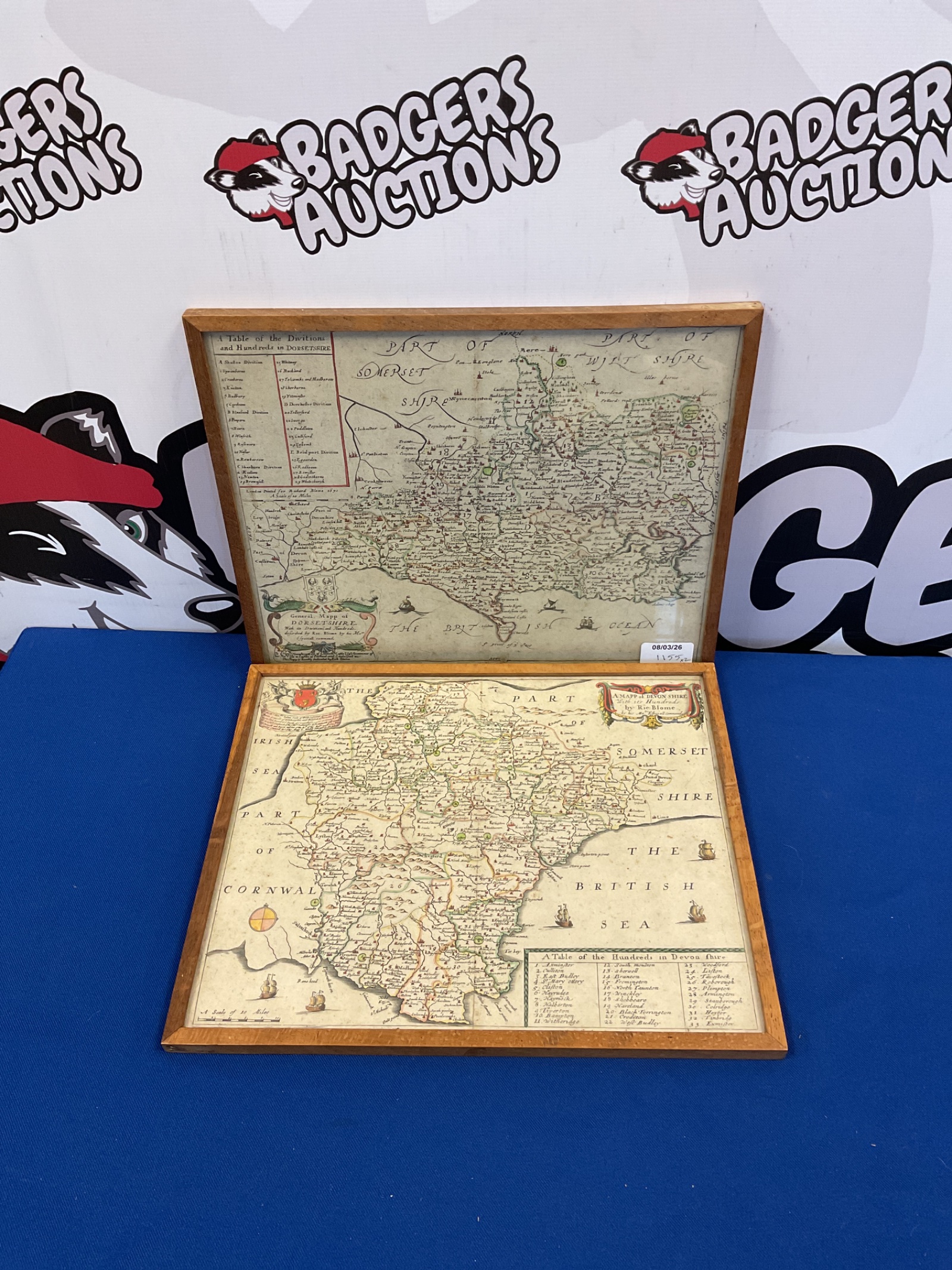
Antique Devonshire & Dorset Maps
This lot comprises two antique maps, beautifully framed and depicting the counties of Devonshire and Dorset. These maps likely originate from the 18th century, showcasing detailed cartography typical of the period. The maps exhibit a classic aesthetic, with intricate detailing of towns, villages, and geographical features, making them visually appealing and historically significant.
Condition & Collectibility
The maps show signs of age and wear consistent with their antique status, including some foxing and minor imperfections. Despite these characteristics, the maps remain largely intact and retain their visual appeal. These maps would be a desirable addition to a collection of antique cartography, or a unique piece of wall decor for those interested in historical maps and British geography.